From Hiawassee, our final resupply, we did a two-night stretch to Neel's Gap — Pirate's hostel, where we zeroed — then a short day to Hiker Hostel, and finally had one last night tenting before making the last climb to summit Springer.
Thursday, December 9, 2010

Franklin, NC to Hiawassee, GA
Our second-to-last stretch was a short one, two nights out from Franklin, NC (around a rather circituitous and, in retrospect, avoidable loop) to Hiawassee, GA — 2010 November 24-26th.
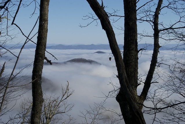
The morning in Franklin was overcast, but as we drove up to the gap (shuttled by the motel), we broke into sunlight; until late morning, our views were of peaks through a sea of clouds.
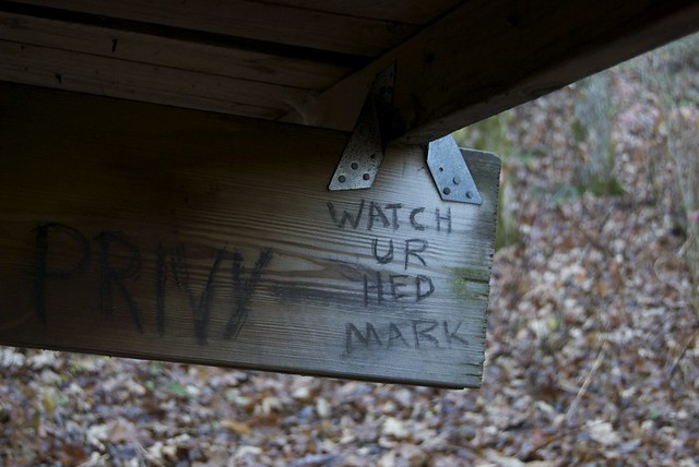
Another mysterious message — but at least this time my doppelganger isn't dead, just tall.
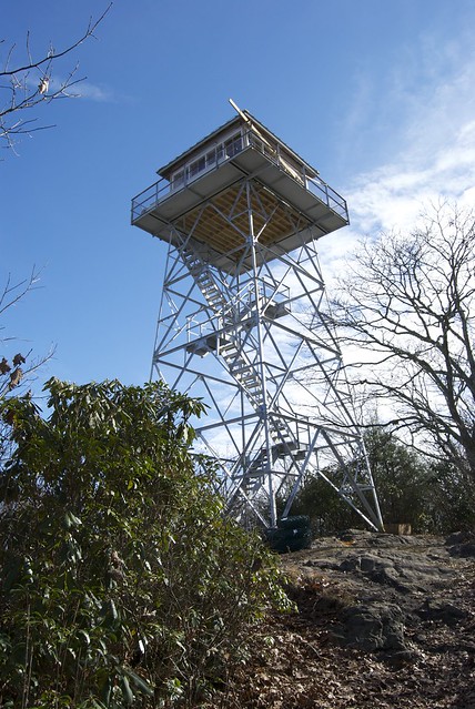
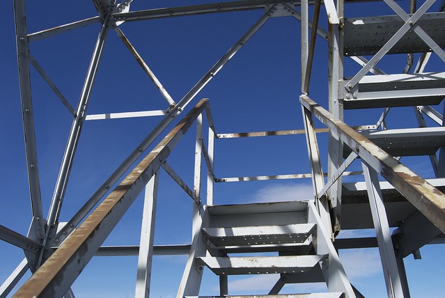
Another tower: a good view from the stairs, even though the top deck is locked (presumably for the protection of weather sensing equipment).
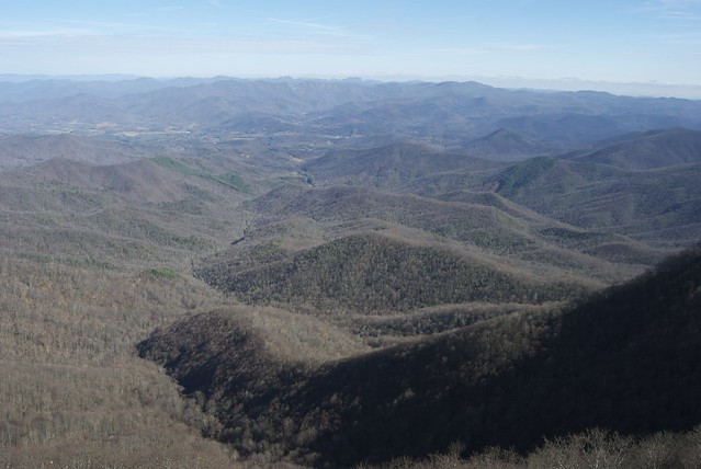
To the right, Georgia is almost certainly visible, although by the trail we were another full day of hiking (north, then south again) to get there. To the left, perhaps still the Smokies at the horizon.
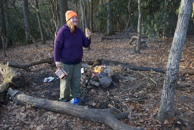
Sausages for dinner (and I packed out Pillsbury dough in a tube for fresh buns). Another everyday occurance — at least when we had sausages: Jo had finished her meal by the time I had finished my first (painstakingly slow-roasted) sausage.
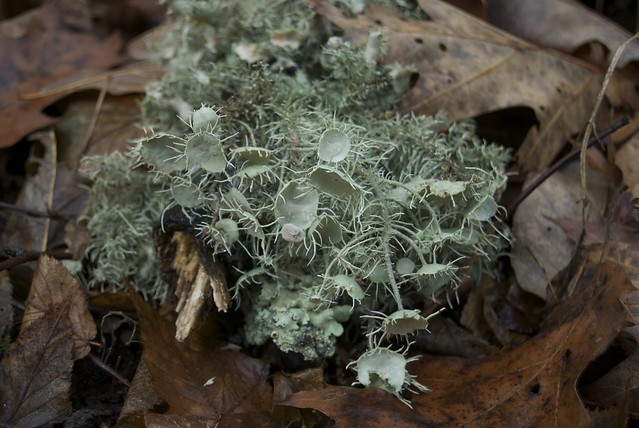
What is it? What's it doing? (Lichen? Blooming?)
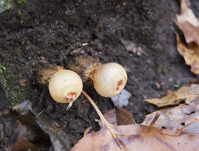
More mysterious flora.
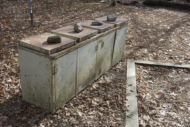
This tree is in the guide book as 'often photographed'.
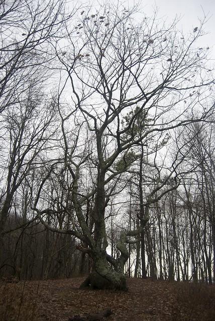
The Georgia border! Or, rather, the sign for it; the actual border is a few hundred feet further south. It was another in-a-cloud day; my lens was strongly fogged up and refused to defrost, so I ended up digging my lens-cleaning cloth out of my pack (hooray for the front zipper). (Jo was hiking ahead of me, and left me the Crunch bar on the sign. Extra snacks!)

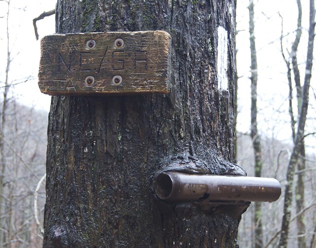
I was amused to find my trail name already on the sign — apparently there was a northbound Karma, earlier. (I don't know what the pipe is about.)
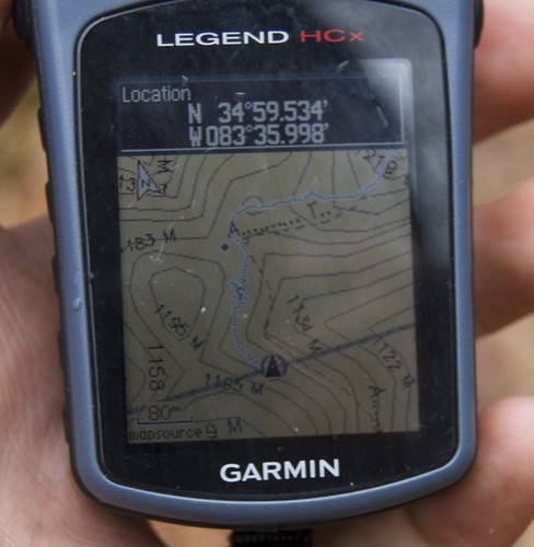
According to my GPS, the actual border was just around the bend. (The scribbly bit is where I stopped by the sign on the tree.)
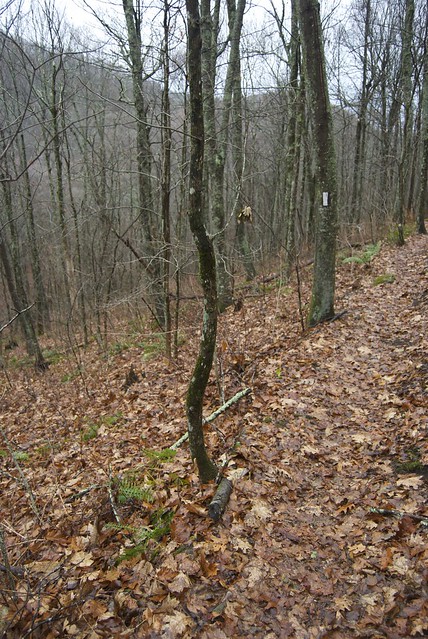
We had to adjust — being in Georgia — to saying "going to Springer Mountain" instead of "going to Georgia".
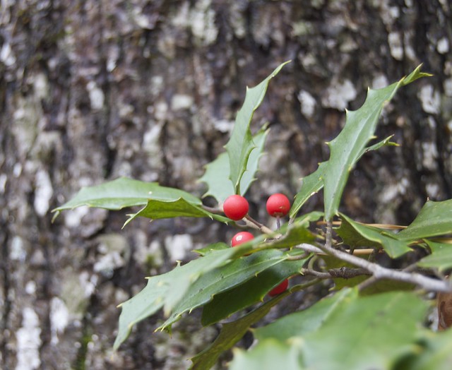
We started to see holly trees as part of the evergreen population, some with berries.
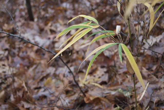
Decorative blaze.
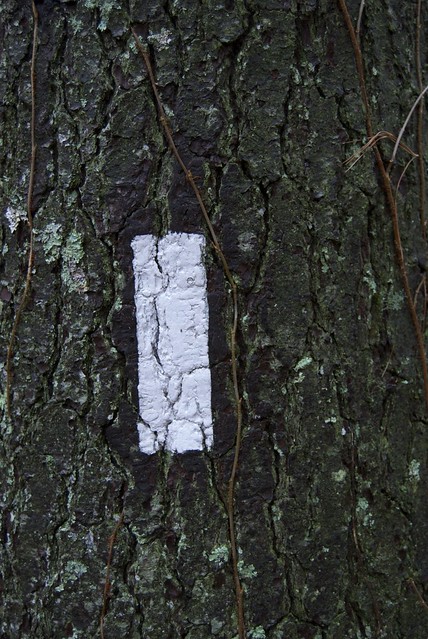
Notably decorative blaze.

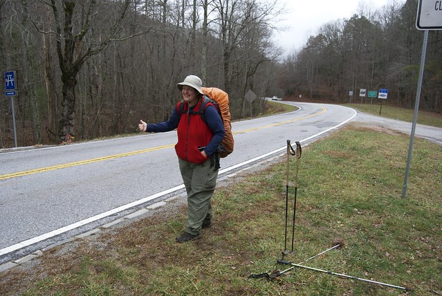
When I suggested this be an 'everyday occurence' shot, Jo said: I hope not! However, our last few hitches had been in the cold and wet with our hands being numb if we stuck 'em out too long. (Eventually some day hikers — from Texas! — who we had seen earlier came back and gave us a ride into town.)
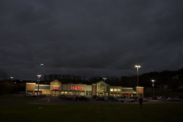
Dairy Queen, Hiawassee Inn, Resupply. Usual town stuff.
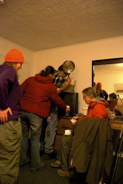
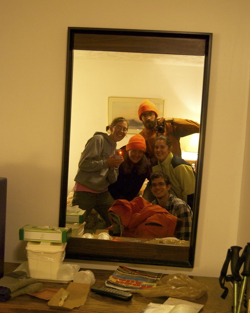
However! Jo's friend Bovee — living in Ohio, but visiting the Smokies — dropped in (that is, drove several hours) to visit us, along with a couple friends from the environmental learning center where she works. (E.L.C.s are the underground railroad of Jo's life, apparently.)
Wednesday, December 8, 2010
Gatlinburg, TN (mid-Smomkies) to Franklin, NC, Passing N.O.C. and Fontana Dam
Following a zero in Gatlinburg — during which it rained lightly in town — we shuttled back up to Newfound Gap in the Smokies, and hiked from there to Fontana Dam, the Nantahala Outdoor Center (N.O.C.), and into Franklin, NC for our next resupply. (November 17th to 23rd.)
(This round's photos are also on flickr; click on any image for a larger version.)
The owner of the Grand Prix shuttled us to Newfound Gap in the morning.
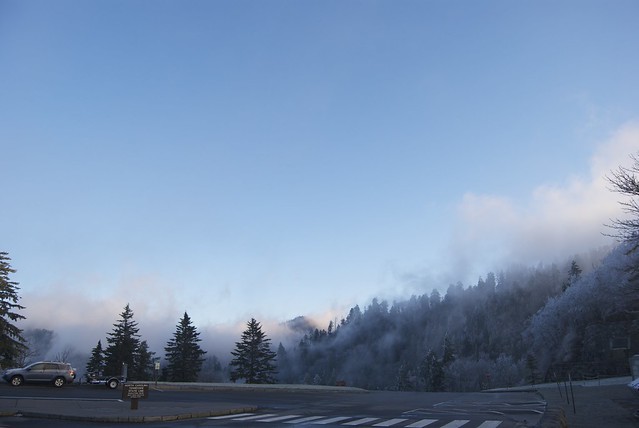
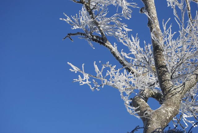
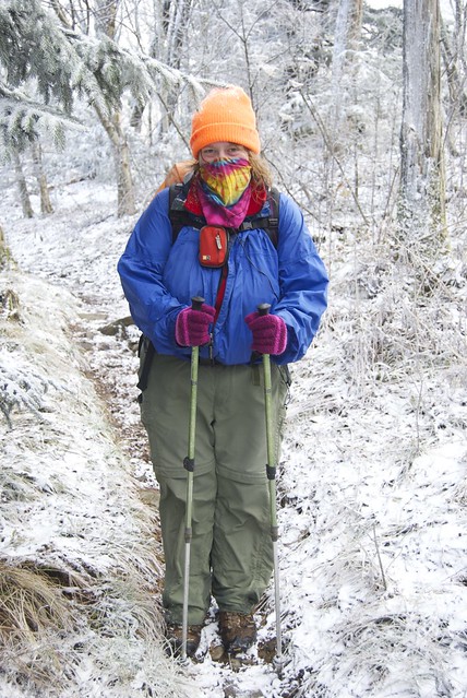
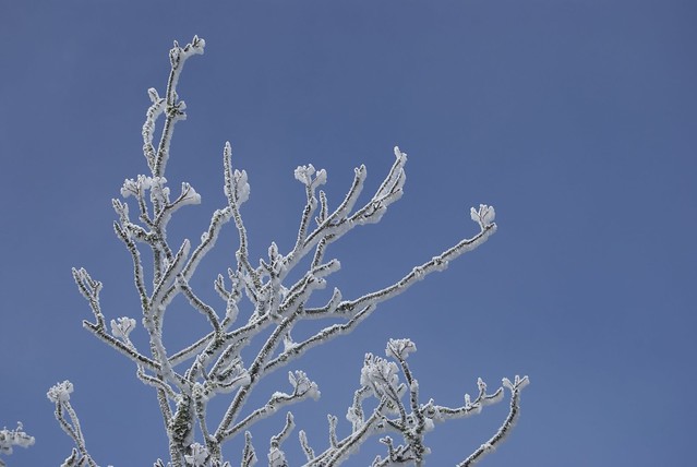
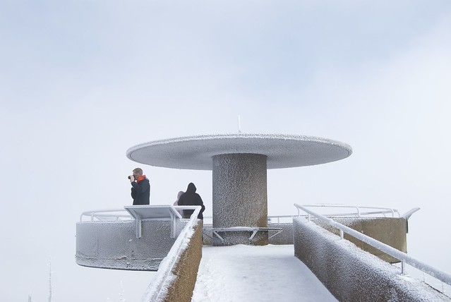
Everything was covered in rime ice — the first time I'd seen it. Beautiful, but bitterly cold (especially in the wind).
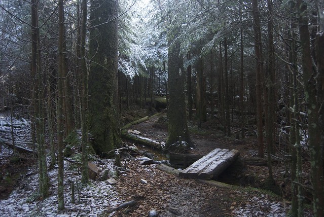
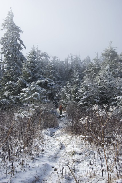
The forest for the day's hike was mostly dense and wet; some snow and ice on the ground, and some running water.
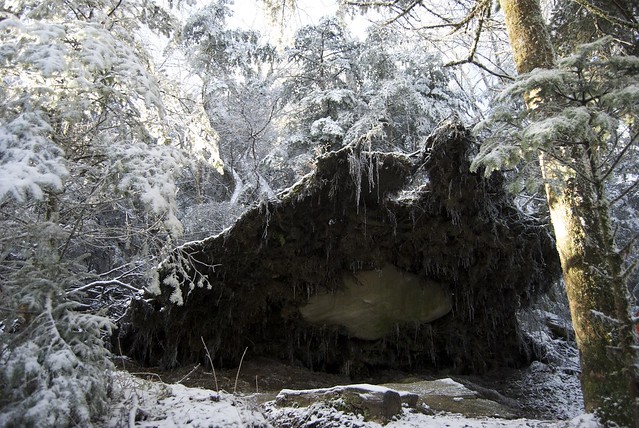
It is mostly overcast, but there are occasional breaks in the clouds — they are running quickly, just overhead.
I can hear the frozen tree branches chattering in the wind, but don't get out my audio recorder: my fingers are already numb from photographing — gloves notwithstanding.
The observation deck at Clingman's Dome is a tourist event, even with minimal visibility and freezing winds, and on a Wednesday.
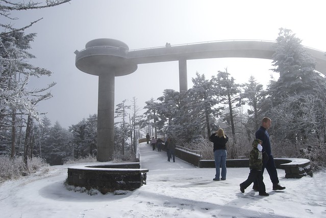
The platform and its pillar have ice whorls. (The informational landmark signs are indelably obscured, except for one.)
As the day progresses it's clearer, and on the southwest slopes it's almost warm.
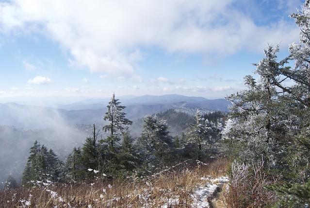
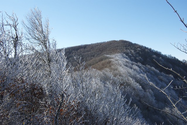
There's a visible division along ridges.
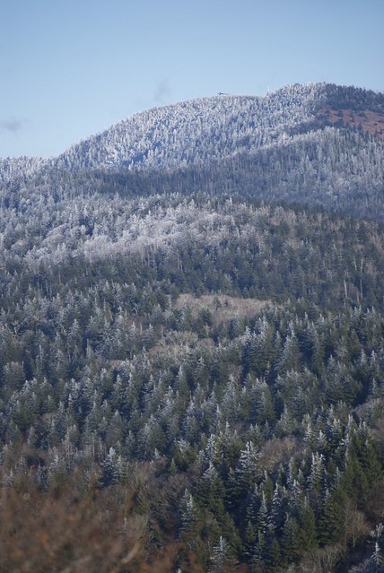
Clingman's Dome is visible (with the observation deck), looking back.
We begin to see Fontana Lake (here from Rocky Top).
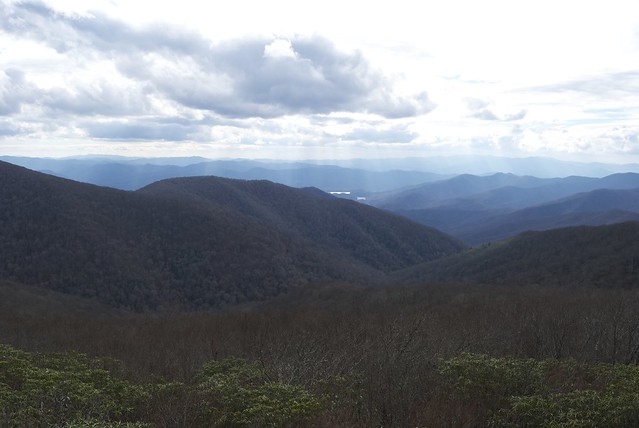
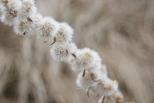
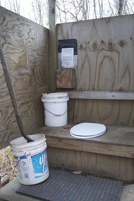
One of the privies has a study in progress, with a mat to track how many people use it.
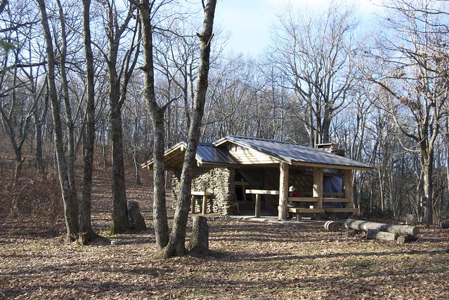
A Smokies shelter: stone construction, fireplace, and tarp are typical; some also feature a transparent roof (good for light as well as some solar heating). This is the only shelter we end up sharing with anyone in the Smokies — and that because he got lost (which resulted in a series of late-hiker-night cell phone calls).
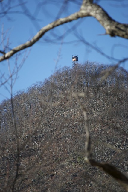
On our way down to Fontana, we stopped at the Shuckstack fire tower.
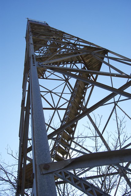
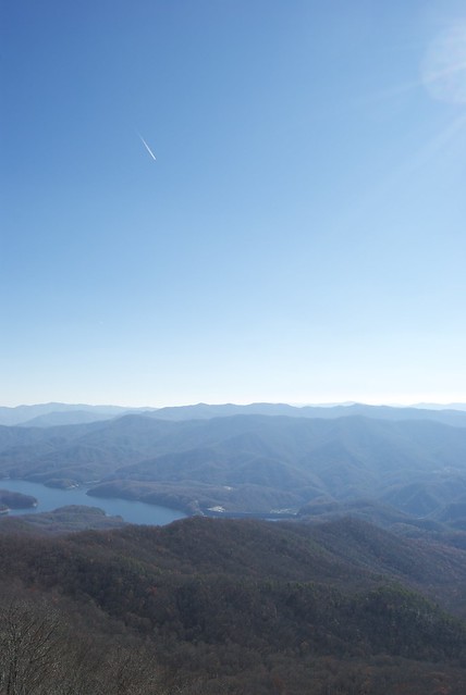
There's a 360° view from the top; among other things, Fontana Dam is visible.
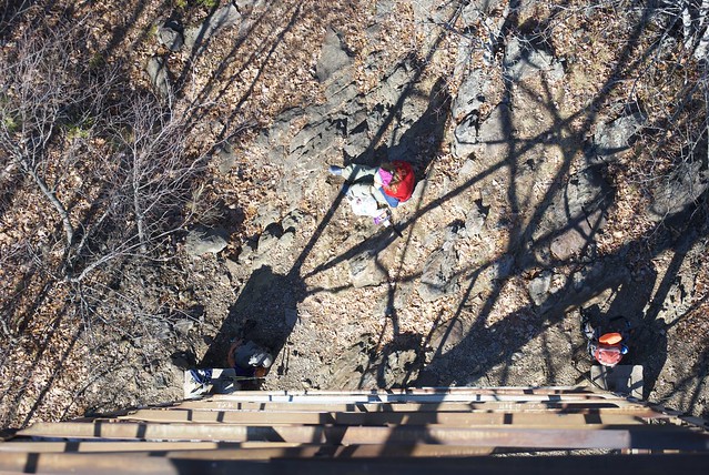
Jo climbs up a little way (the flight of stairs missing a railing is especially exciting), then opts to stay on the ground.
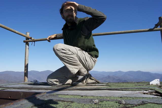
I perch cautiously on the very top — there is a windowed room, and then a trap door to its roof. (Note the decayed plywood, right: I made sure to more slowly and keep my weight on beams, not decking.)
The tower — as during approach — remains a nice landmark to pick out as we hike down.
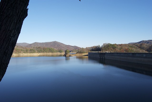
Fontana Dam! The water level is lowered in fall, anticipating large spring rains. (Part of the dam's purpose is to control flooding in the area.)
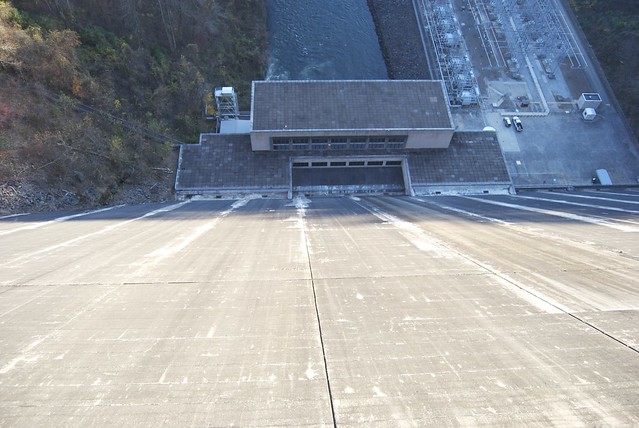
It is taller on the downhill side.
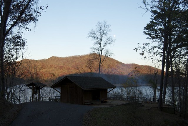
The night's shelter, the Fontana Hilton, is a short walk past the dam but right on the water. There are a group of Russian men there for the evening, but they don't stay the night.
I walk back to the dam after dark, to admire the lights. (I give my brother Matthew a call, and he tells me — among other things — all about his new D7000, which would obviate my risking dropping my camera down the dam while I hold it against railings for long exposures.)
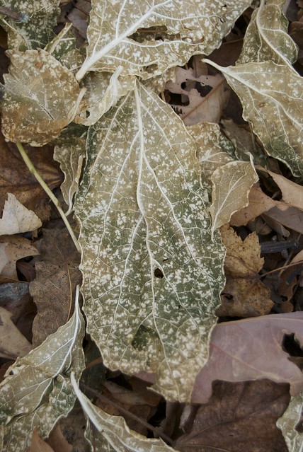
Naturally freeze-dried leaves?
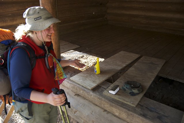
Brown Fork Gap Shelter has ... some gaps.
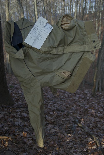
It also has a coat lying inside — as I hang it up, I notice a note:
This Coat belonged
to My brother who was
killed by a Drunk
Driver in 1981, if you
need it! use iit if not
leave it in this Wild Place
He would love that
I Love You Mark
(Slightly creepy, but also sort of nice. The note was folded so I saw the last line first, which added to the effect.)
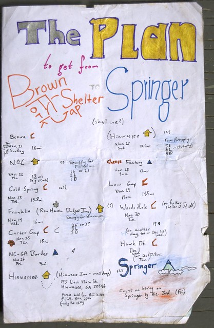
That night we also Formulate a Plan, in preparation for a last mail drop and buying tickets home.
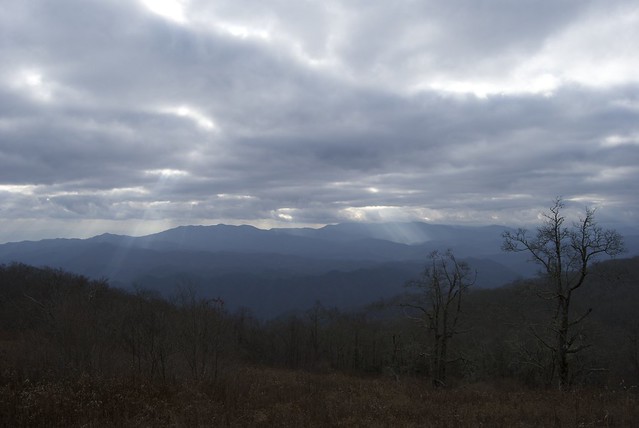
Cheoah Bald: not-quite-sinister clouds. (Lots of weekenders.)
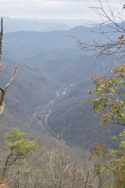
We spend about half the day — five miles — descending into the Nantahala River Gorge.
N.O.C.! It is clearly not at full capacity — there is a parking lot of empty busses, one of the two restaurants is closed for the season, and there is perhaps one other overnight guest — but there are plenty of day visitors having lunch and doing a little kayaking.
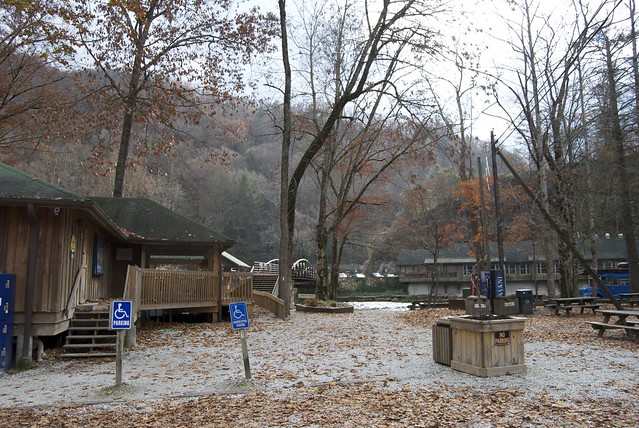
The cabins are up on the hillside; luckily we are in the lowest one.
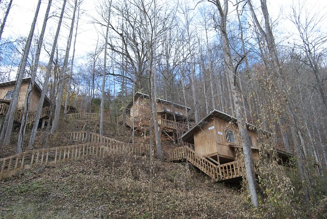
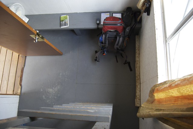
Scenic location, but compact, but adequate. (However, no way to buy soap for the laundry, and no towels for the showers — at least on weekends. We make do.)
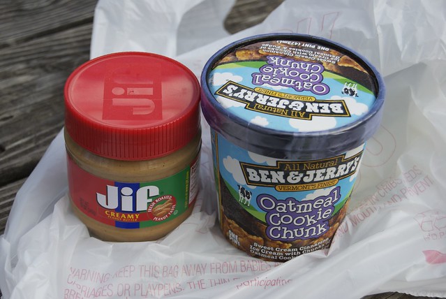
Resupply (on site — there is apparently a gas-station grocery a mile down the road) is abysmal, but has the redeeming option of ice cream. I buy out their peanut butter supply; they have no bread products. Luckily we planned not to need more food, and the restaurant furnishes a good lunch and dinner.
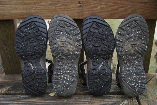
I had ordered new Tevas (hoping that Teva would be among the manufacturers to replace-for-free for A.T. hikers and hoping to ship them to Gatlinburg — no dice on either), which I was able to pick up at the N.O.C. outfitter.
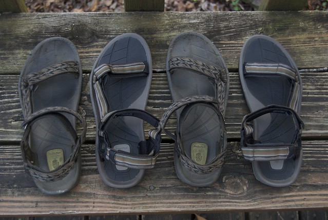
My old pair — identical except for strap color — looks rather worn by comparison, though they were still quite functional and enough to get me through the Smokies.
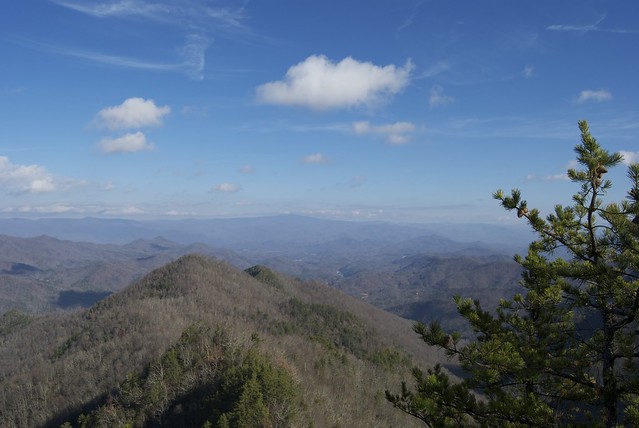
The next day, we climb back out of the Nantahala Gorge.
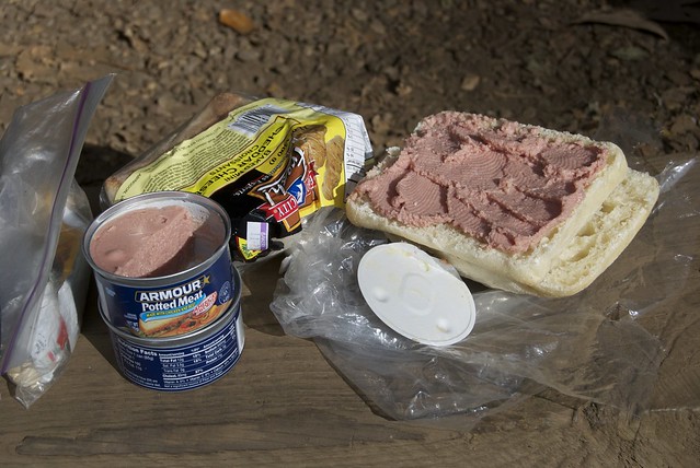
I try Potted Meat for lunch — trail magic I'd carried for a few days. It is surprisingly not disgusting, but somewhere between liverwurst and cat food (and has an odor strong enough that Jo smells it from a hundred feet when she gets to the shelter turnoff from the A.T.). Worth experiencing, but not worth repeating: I leave the second can as re-gifted trail magic.
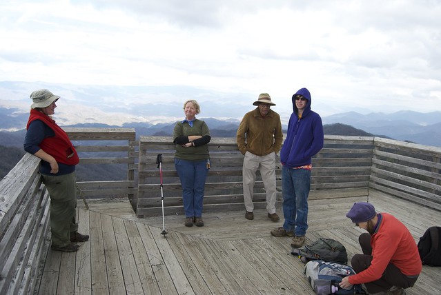
We have a friendly chat with some day-hikers, up from Florida and renting a cabin for a few days, at an observation deck. (One of them even digs out peanut-butter-and-honey crackers as emergency trail magic!)
At the shelter, we find a note:
ANGEL AHEAD 1 MILE
SOUTH THRU 11-25-10
OPEN 24/7 AT GAP
HEATED 12 MAN TENT
FREE FOOD, WOOD STOVE
WELCOME! COME ON DOWN!
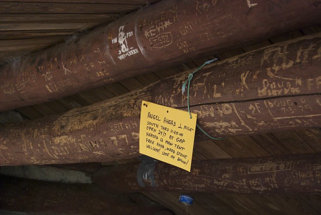
And it's all true (and worth shouting about!).
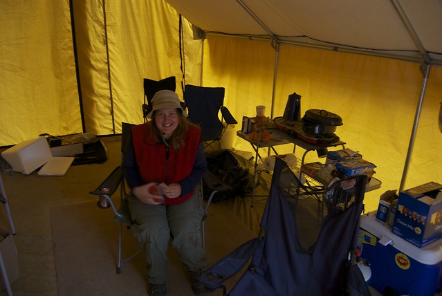
Apple (as our host calls himself) makes us hot dogs and hot chocolate, and has chips and cookies on hand. We chat about HAM radio (he set up a sensor on the trail which notifies him in Morse code when a hiker is approaching), among other things. He also mentions that someone was filming a documentary.
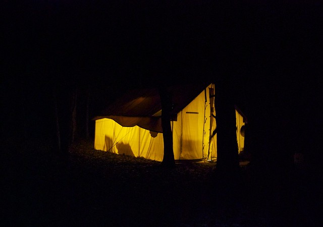
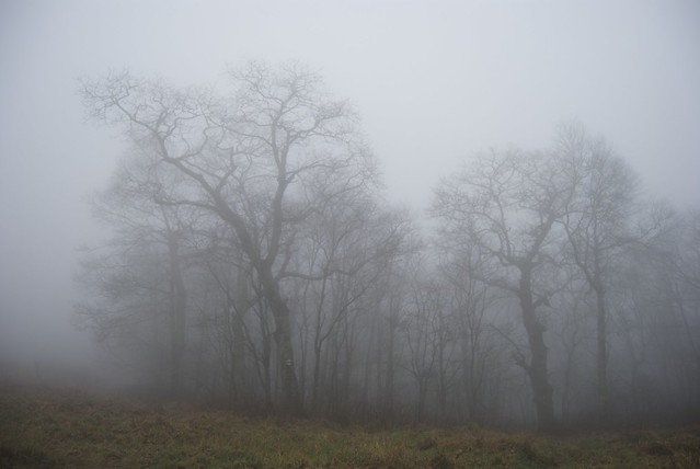
The next day is a hiking-in-a-cloud day, but coming from a dry tent and heading into town make it minimally oppressive (if view-free).
In Franklin: books! Resupply! Sunset and a rainbow. Drying out and laundry.
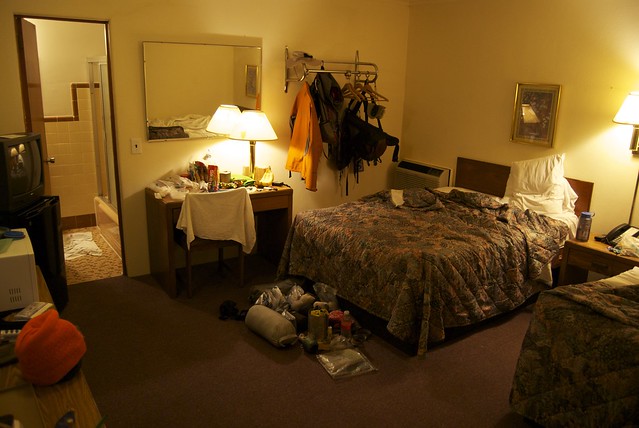

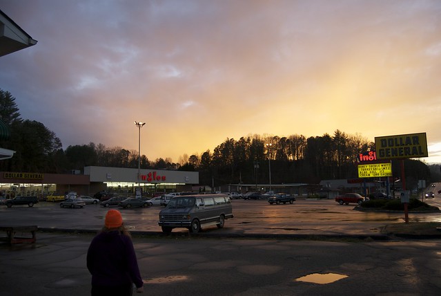
We even ran into a couple who we crossed paths with on the trail, who recognized us and gave us a ride back to our hotel from the grocery store; and we caught Aladdin on TV while we ate Chinese: a good town experience.
Subscribe to:
Posts (Atom)